
LiDAR-Assisted Capture
Existing-space spatial capture used to build the measured layout.
Base serviceSouthSan Scan and Plan captures existing residential and commercial spaces using LiDAR-assisted spatial capture, then converts the field data into a clean measured as-built floor plan. Optional Bluetooth laser-distance-meter verification is available as an add-on for critical dimensions.
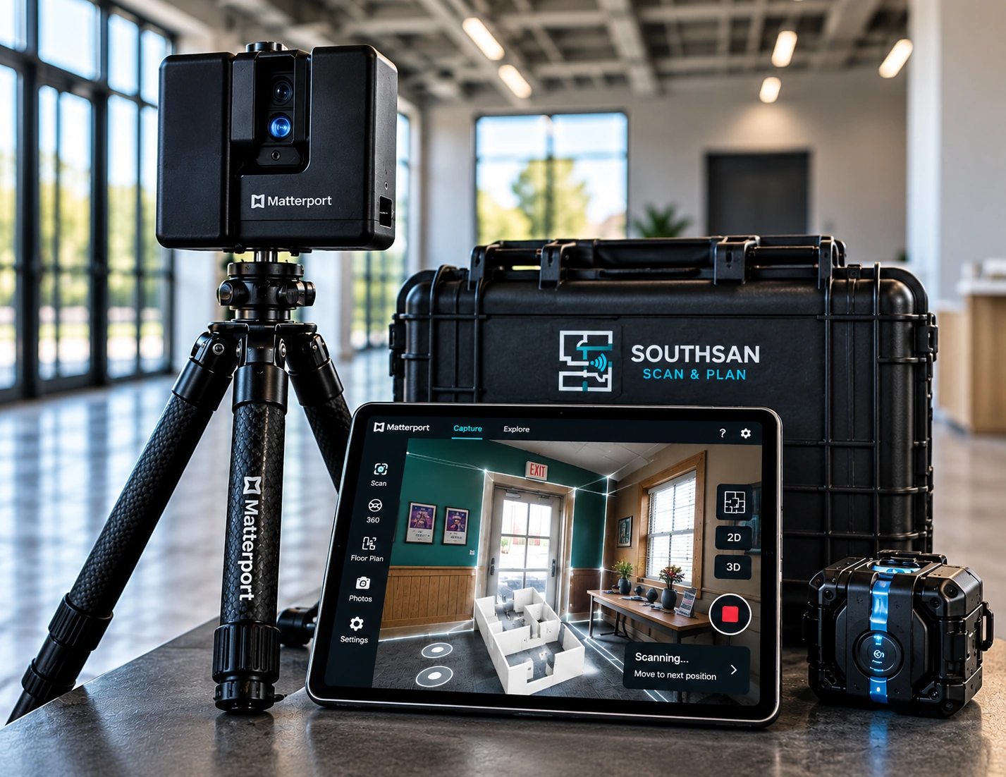
Existing-space spatial capture used to build the measured layout.
Base serviceClean digital layouts documenting the existing space.
Base serviceCompleted measured floor-plan files delivered electronically.
Base serviceIndependent laser-distance-meter checks for selected critical dimensions.
Optional add-onA simple, streamlined process from the initial site visit to your finished measured plan.
Tell us about the property and arrange a time for the site visit.
The existing space is captured on site using a LiDAR-assisted field workflow.
Captured field information is organized into a clean measured as-built layout.
The completed measured plan is delivered electronically in the agreed format.
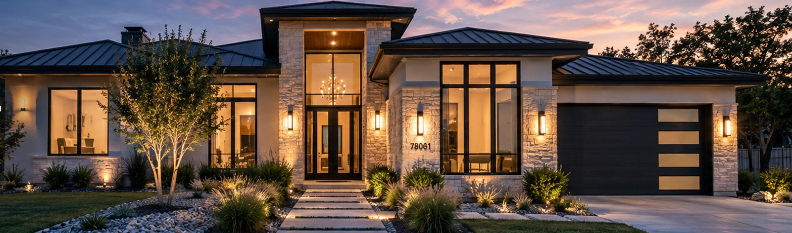
Document the current layout of a home for renovation planning, additions, property records, or other projects that need a clear measured as-built floor plan.
Capture the existing layout of offices, retail spaces, warehouses, and other commercial properties for documentation, planning, facility use, or project coordination.
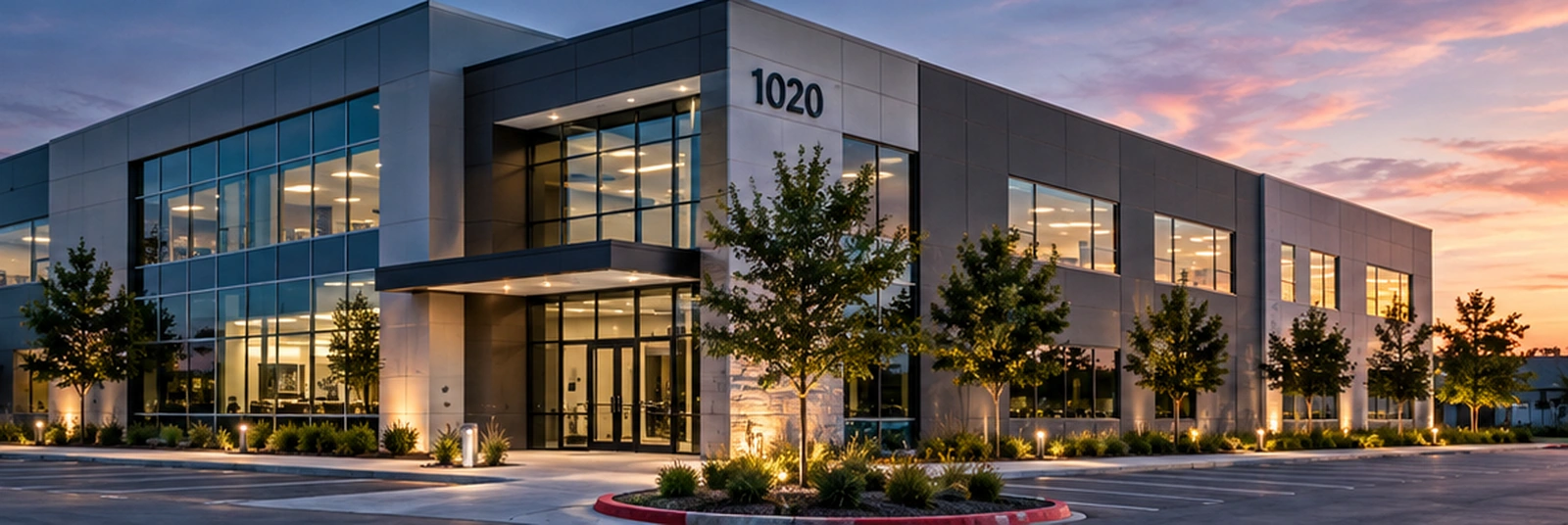
Keep the base scan simple, then add independent distance-meter checks when the project calls for them.
The standard service uses LiDAR-assisted spatial capture. If a customer wants additional field verification, selected critical dimensions can also be independently checked with a Bluetooth laser distance meter.
Serving San Antonio, Pearsall, and surrounding South Texas.
Tell us about your property. We’ll follow up with pricing and availability.